

79,89€
Εκδότης:
ISBN:
9780721709345
Εξώφυλλο:
Μαλακό εξώφυλλο
Διαστάσεις:
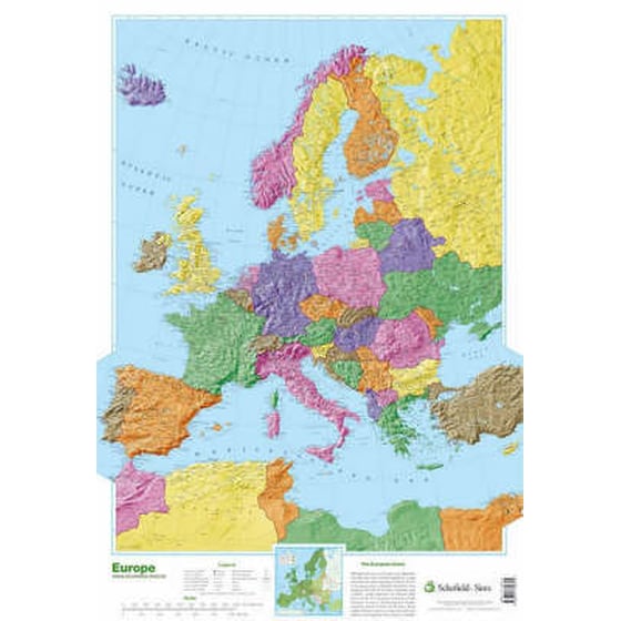
53 x 77 cm
Ημερ/νία έκδοσης:
30/06/2002
Γλώσσα Γραφής:
Αγγλικά
Χρονολογία έκδοσης:
2002
Θέμα Βιβλίου:
Παιδική/Εφηβική : βιβλία αναφοράς: άτλαντες και χάρτες, Ευρώπη, Γραφική ύλη και διάφορα είδη για παιδιά / εφήβους