





A-Z Maps
Εκδότης:
ISBN:
9780008730864
Εξώφυλλο:
Μαλακό εξώφυλλο
Διαστάσεις:
15 x 22 cm
Αριθμός Σελίδων:
96
Ημερ/νία έκδοσης:
22/05/2025
Γλώσσα Γραφής:
Αγγλικά
Βάρος βιβλίου:
0.140 kg
Χρονολογία έκδοσης:
2025
Κατηγορία Βιβλίου:


Δες όλα τα χαρακτηριστικά
Επιλογές παράδοσης
Βάλε ΤΚ
Σύνοψη βιβλίου
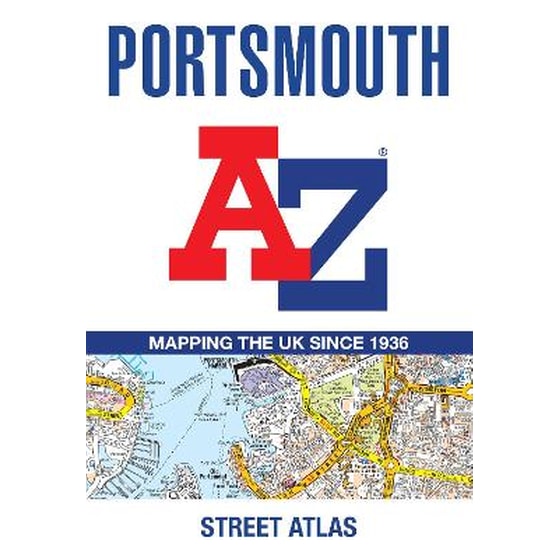
Printed in full-colour, paperback format, this atlas contains 54 pages of continuous street mapping.
The main mapping extends beyond central Portsmouth at a scale of 4 inches to 1 mile, featuring postcode districts, one-way streets, park and ride sites, and safety camera locations. Areas covered include:
• Fareham
• Gosport
• Havant
• Horndean
• Waterlooville
• Emsworth
• Hayling Island
• Portsea Island
• Cosham
• Lee-on-the-Solent
• Stubbington
• Portchester
• Wickham and Clanfield (inset)
Separate coverage of Petersfeld is provided.
The large-scale street map of Portsmouth city centre – at a scale of 8 inches to 1 mile – includes:
• Places of Interest Guide, highlighting historic maritime tourist attractions to modern-day landmarks
• Postcode map of the Portsmouth area
• Road map of the Portsmouth area
• South Downs National Park boundaries
A comprehensive index lists streets, selected flats, walkways and places of interest, place, area and station names. Additional healthcare (hospitals, walk-in centres and hospices) are indexed as well.
Χαρακτηριστικά
Βιογραφία συγγραφέα