





A-Z Maps
Εκδότης:
ISBN:
9780008724511
Εξώφυλλο:
Μαλακό εξώφυλλο
Διαστάσεις:
21 x 30 cm
Αριθμός Σελίδων:
436
Ημερ/νία έκδοσης:
24/04/2025
Γλώσσα Γραφής:
Αγγλικά
Βάρος βιβλίου:
1.440 kg
Χρονολογία έκδοσης:
2025
Κατηγορία Βιβλίου:


Δες όλα τα χαρακτηριστικά
Επιλογές παράδοσης
Βάλε ΤΚ
Σύνοψη βιβλίου
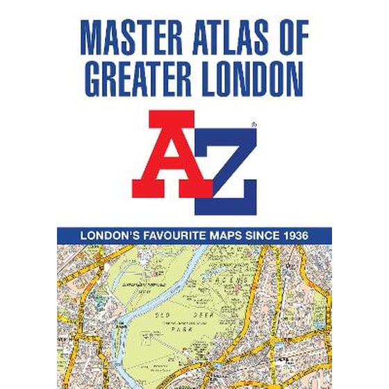
This comprehensive, paperback atlas encompasses an area of 1,450 square miles, including more than 90,000 streets and other addresses, and is trusted by local authorities, taxi drivers and emergency services.
The coverage extends beyond the Greater London and M25 area to: Hemel Hempstead, St. Albans, Potters Bar, Waltham Cross, Epping, Brentwood, Thurrock, Stanford-le-Hope, Gravesend, Wrotham, Sevenoaks, Westerham, Oxted, Redhill, Reigate, Leatherhead, Great Bookham, Woking, Egham, Windsor, Slough, Chalfont St. Peter, Chorleywood, Bovingdon
There are eighteen pages of large scale (9" to 1 mile) street mapping of central London which gives additional clarity and detail, this mapping extends to: Regent's Park, St. Pancras International Station, Old Street, Tower Bridge, Bricklayer's Arms Junction, Vauxhall Bridge, South Kensington, Paddington Station and Lord's Cricket Ground.
Postcode districts and one-way streets are included on the street mapping.
Other features include:
The index section of the atlas includes streets, places & areas, hospitals, industrial estates, selected flats & walkways, service areas, stations and selected places of interest. Please note hospitals and rail stations are now listed in the main index and highlighted in different colour. They are not included as a separate list as in previous editions.
Χαρακτηριστικά
Βιογραφία συγγραφέα