


Kendall Carter
Συγγραφέας:
Εκδότης:
ISBN:
9781399421171
Εξώφυλλο:
Μαλακό εξώφυλλο
Διαστάσεις:
14 x 21 cm
Αριθμός Σελίδων:
240
Ημερ/νία έκδοσης:
15/01/2026
Γλώσσα Γραφής:
Αγγλικά
Βάρος βιβλίου:
0.448 kg


Δες όλα τα χαρακτηριστικά

Άτοκες δόσεις χωρίς πιστωτική
Η επιλογή γίνεται στο checkout
Επιλογές παράδοσης
Βάλε ΤΚ
Σύνοψη βιβλίου
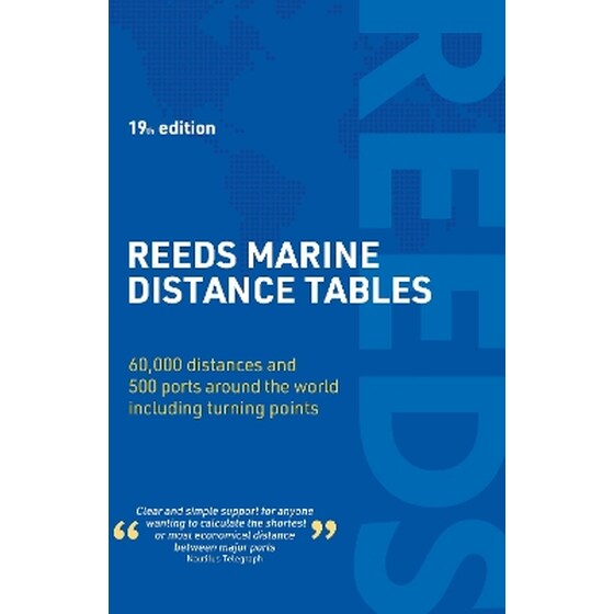
Reeds Marine Distance Tables is the perfect ready reckoner for captains, navigators and ship owners wanting a quick and accurate distance reference between all the regularly used commercial ports around the world.
Divided into key 'market areas', Reeds Marine Distance Tables includes a pull-out map for area identification and an easy see-at-a-glance port reference. Traffic Separation Schemes are calculated into the tables already, for ease of use. Useful tables of major 'turning points' around the world (including Cape Finisterre, Cape Horn and the Dover Straits), transatlantic distances, world time zones, and time and speed conversion tables are also included.
Comprehensively revised for its 19th edition, Reeds Marine Distance Tables is an invaluable resource for ship owners, operators, brokers, navigators and superyacht skippers. Using this one reference, anyone can calculate the shortest or most economical distances between all the major ports in the world.
Χαρακτηριστικά
Βιογραφία συγγραφέα