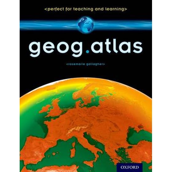

geog.atlas
product-thumbnail
41 ,99€
Συγγραφέας Gallagher RoseMarie
Εκδότης Oxford University Press
ISBN 9780198390756
Αριθμός Σελίδων 112
Διαστάσεις 23 x 29 cm
Γλώσσα Γραφής Αγγλικά

Δες όλα τα χαρακτηριστικά

geog.atlas

ΚΩΔΙΚΟΣ: 0945181
Διαθέσιμο με παραγγελία
41 ,99€

Επιλογές παράδοσης

Βάλε ΤΚ

Σε BOX NOW Locker Τρι 24/11 - Πεμ 26/11
2,00€
ή ΔΩΡΕΑΝ με
Σε κατάστημα Public
ΔΩΡΕΑΝ
Διαθεσιμότητα ανά κατάστημα
Στον χώρο σου Τρι 24/11 - Πεμ 26/11

Σύνοψη βιβλίου

geog.atlas is an engaging atlas of accessible maps and supporting information. It features unique coverage of places likely to appear in the news, such as the Middle East, Afghanistan, and the Falklands. Special maps look at themes like global warming, desertification, and how people spread around the world. Stunning satellite images are placed alongside physical geography maps to aid understanding. 'Did you know?' and 'What if?' circles provide interesting extra information and engaging facts. Full of clearly-labelled maps, straightforward explanations, and advice on how to 'read' maps and understand what they show, it will help improve students' basic locational knowledge, enhance their understanding, and build their confidence. geog.atlas supports teachers whether they're using geog.123 or an alternative course at KS3.

Μαζί με αυτό, οι περισσότεροι αγοράζουν

Άλλοι πελάτες είδαν επίσης

41 ,99€