

Mark Richards
Συγγραφέας:
Εκδότης:
ISBN:
9781786311511
Εξώφυλλο:
Μαλακό εξώφυλλο
Διαστάσεις:
11 x 17 cm
Αριθμός Σελίδων:
56
Ημερ/νία έκδοσης:
04/08/2023
Γλώσσα Γραφής:
Αγγλικά
Βάρος βιβλίου:
0.060 kg


Δες όλα τα χαρακτηριστικά

Άτοκες δόσεις χωρίς πιστωτική
Η επιλογή γίνεται στο checkout
Επιλογές παράδοσης
Βάλε ΤΚ
Σύνοψη βιβλίου
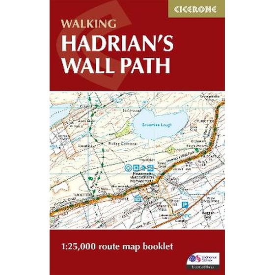
All the mapping you need to walk the 84 mile (135km) Hadrian's Wall Path from Bowness-on-Solway in Cumbria to Wallsend, Newcastle. This booklet of Ordnance Survey 1:25,000 Explorer maps has been designed for convenient use on the trail. It shows the full and up-to-date line of the Hadrian's Wall Path, along with the relevant extract from the OS Explorer map legend. It can be used when walking the trail west-east or east-west, and includes an extension to the east coast at South Shields. It is conveniently sized for slipping into a jacket pocket or top of a rucksack. This booklet is included with the Cicerone guidebook to Hadrian's Wall Path National Trail.
Χαρακτηριστικά
Βιογραφία συγγραφέα